Find Nearby Police and Hospitals
In critical moments, locating the nearest help center quickly can make all the difference.
The Famalth ONE App allows you to instantly find nearby police stations, hospitals, and emergency services — ensuring you are never without guidance in an unfamiliar area.
Overview
The Find Nearby feature enables you to:
- Search for police stations, hospitals, and emergency services around your current location.
- Open one-tap directions to selected destinations through your device’s Google Maps application.
- Get faster access to professional help during emergencies or uncertain situations.
Make sure to grant Location Access permission to the Famalth ONE App for accurate nearby results.
How It Works
| Step | Action |
|---|---|
| 1 | Open the Famalth ONE App and tap Nearby Assistance from the dashboard. |
| 2 | Choose Police Stations or Hospitals as the category. |
| 3 | View the nearest options based on your GPS location. |
| 4 | Tap on a listed location to open Google Maps with automatic navigation directions. |
This ensures you can navigate immediately without typing addresses or searching manually.
Setup and Usage Guide
To use Nearby Police and Hospital Finder:
- Open the Famalth ONE App.
- Go to the Dashboard → Nearby Police or Hospital section.
- Choose the desired category (Police or Hospital).
- View the nearest options sorted by proximity.
- Tap on a location for one-tap navigation via Google Maps.
For best results:
- Keep Location Services enabled.
- Ensure Google Maps app is installed on your device.
View Screenshot
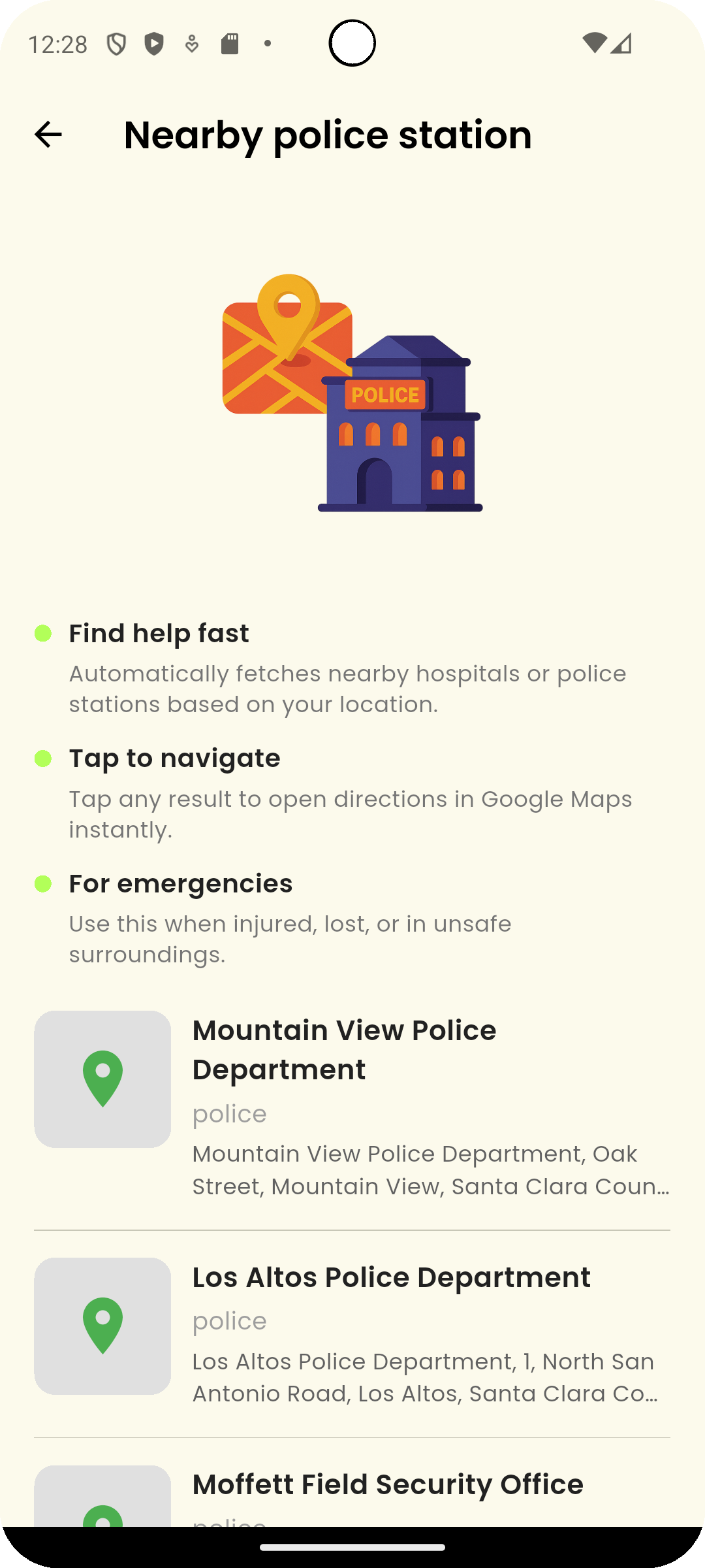
1. Find Nearby Police:
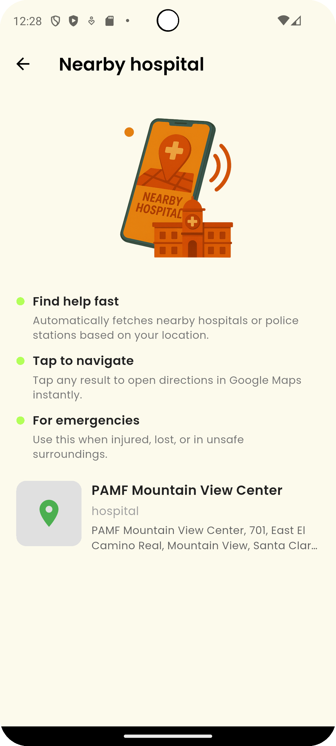
2. Find Nearby Hospital:
Best Practices
| Tip | Why It Helps |
|---|---|
| Enable High-Accuracy Location Mode | Improves the precision of nearby police and hospital listings. |
| Preload Google Maps offline areas | Helpful if traveling in low network coverage zones. |
| Verify local emergency services in advance | Especially important when traveling internationally. |
| Share location with trusted contacts | Use Share Location feature in parallel during emergencies for additional safety. |
Preparation improves real-world emergency response effectiveness.
Common Questions
Does this feature work offline?
Partially.
Location lookup requires an internet connection.
However, preloaded offline Google Maps areas may still allow navigation once a destination is selected.
Can I add custom emergency locations?
Currently, the feature lists dynamically nearby official services.
Custom saved locations for fast access may be introduced in future updates.
Will it show private hospitals and clinics too?
Yes.
Results include both public and private facilities available near your location, depending on Google Maps' listings.
Is my location shared with anyone?
No.
The app uses your location locally only to fetch nearby places.
No data is uploaded or shared without your explicit action.
The Find Nearby Police and Hospitals feature ensures that during emergencies, you are never more than a few taps away from professional assistance.
Whether traveling, commuting, or simply moving through an unfamiliar area, the Famalth ONE App keeps help within your reach.
Stay oriented. Stay protected. Stay prepared.
What's Next
Learn how to use Quick Access SOS Tiles for even faster emergency alerting without unlocking your phone.